
Mynydd Mawr
Route Description
Start Point Car Park at Rhyd Ddu (SH570525)
Leave the car park by the path between the houses at the north end and continue along the road. At the T junction turn left and follow the road uphill until the start of the forest road on the left.
Follow the forest road enjoying views of Llyn Cwellyn below until the road turns to a path. Look for a path on the left that goes steeply uphill through an area of felled trees (signposted at the bottom) Follow the path uphill and over a stile. After the stile turn left to follow the edge of the forest uphill to a second stile. Leave the edge of the forest and continue steeply uphill to the summit of Foel Rudd.
From the summit follow the ridge as it skirts Cwm Planwydd and on to the summit of Mynydd Mawr.
Return by the reverse route.
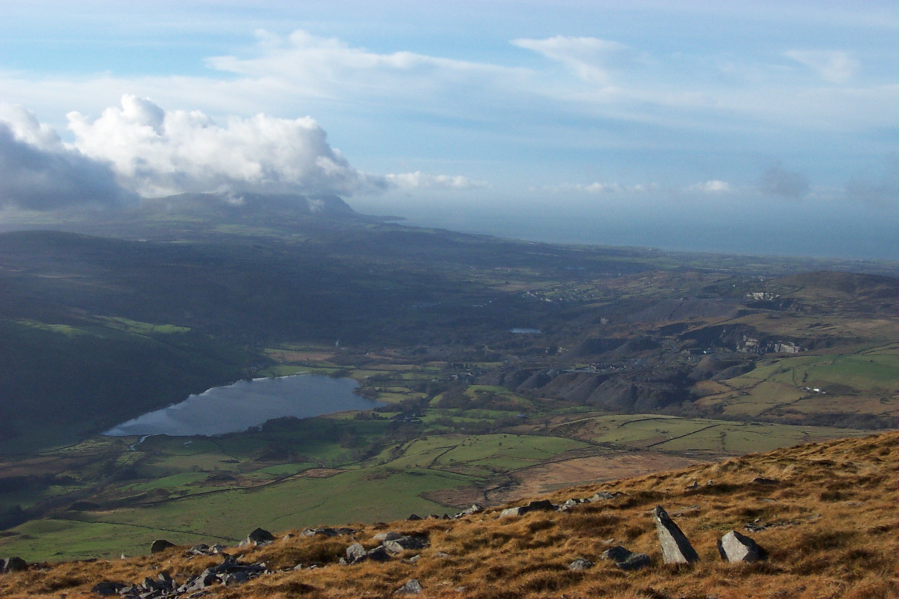
Nantlle from ridge to Mynydd Mawr
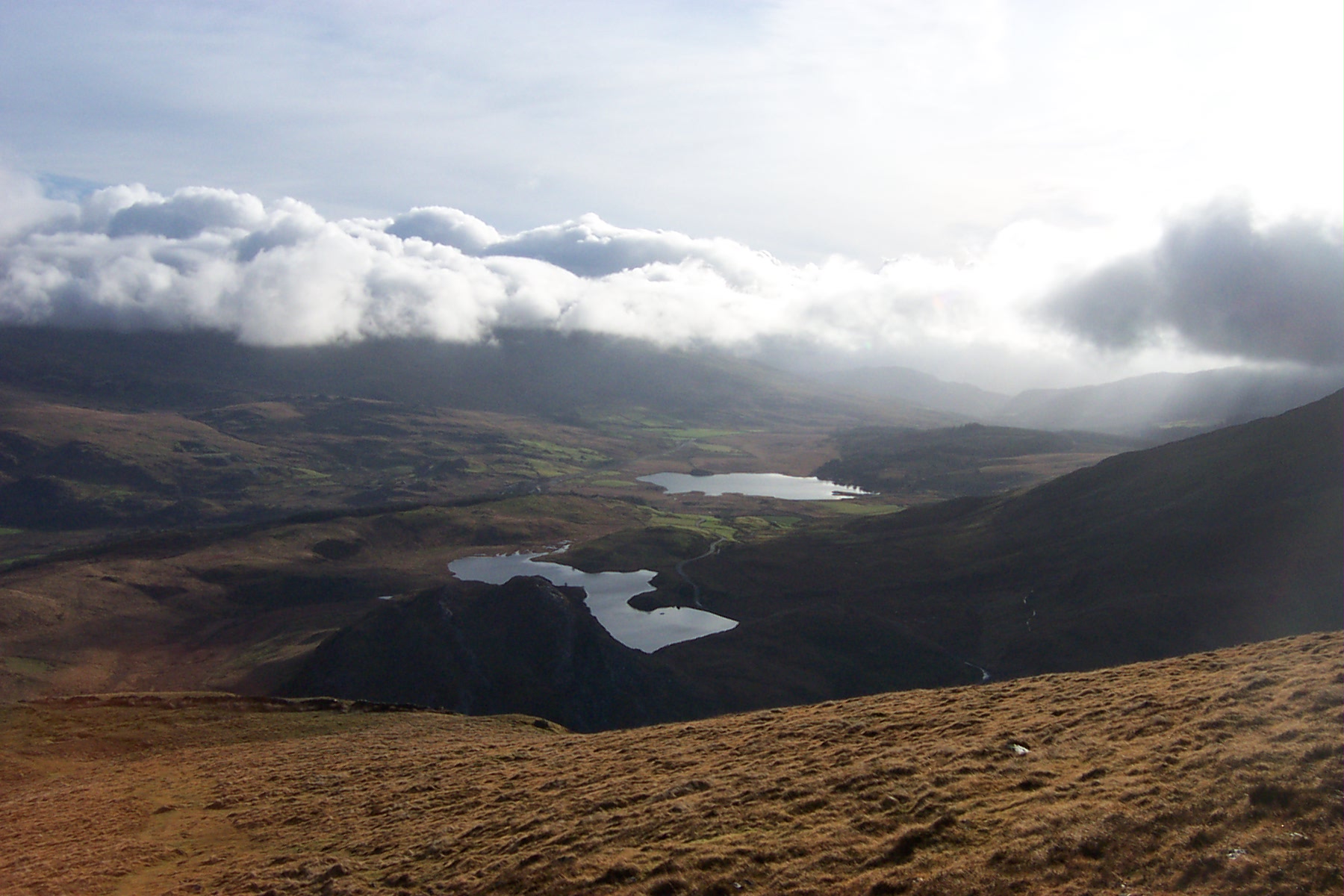
View south east down towards Beddgelert
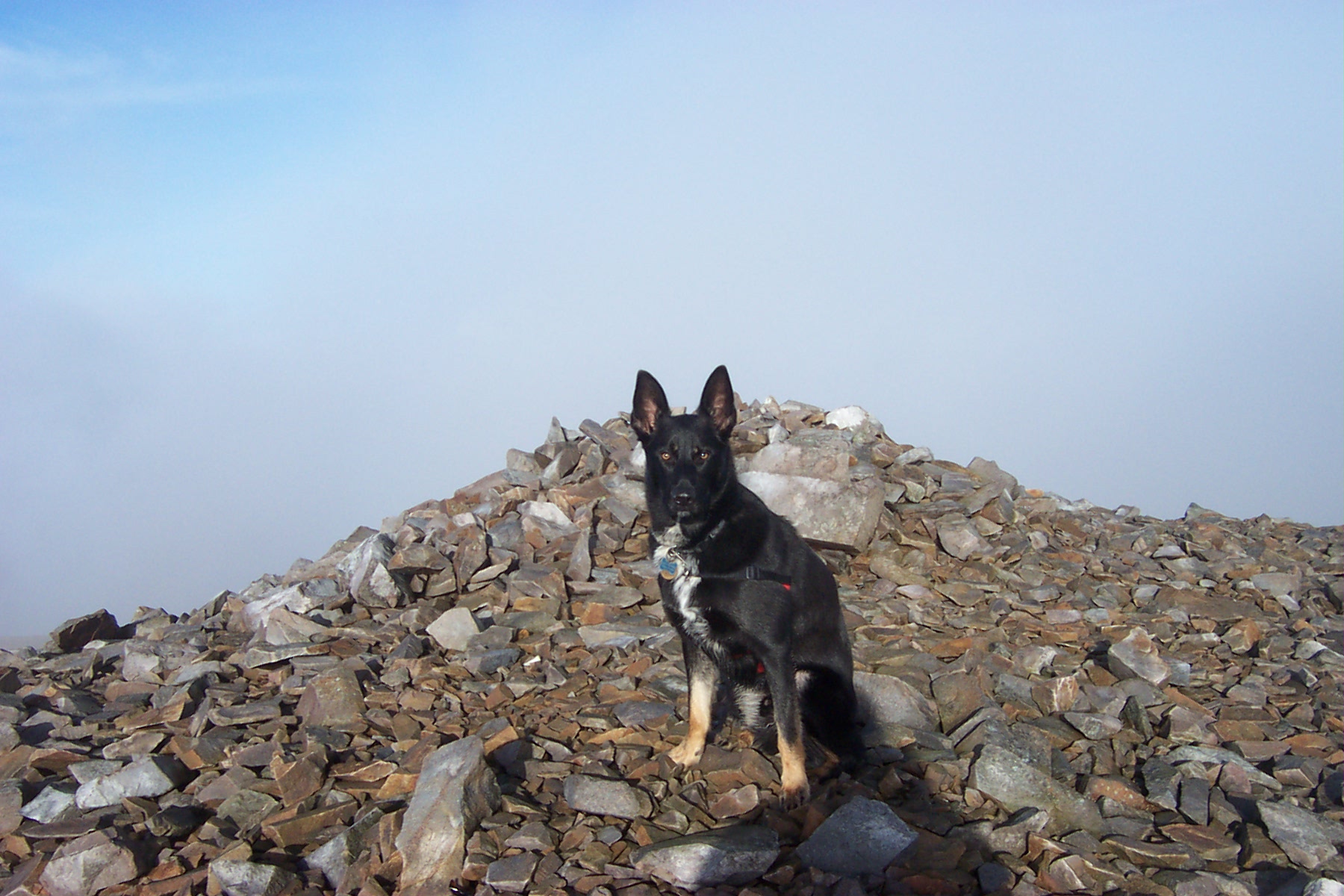
On the summit of Mynydd Mawr
